Floods are the natural disasters that cause the most damage globally and, with climate change, their frequency is increasing. To address this problem, some researchers have resorted to complex mathematical models.
The problem is bigger than we think. In 2022, around 55 million people worldwide were impacted by floodings. In Mexico, more than 72,000 people were affected in 2021.
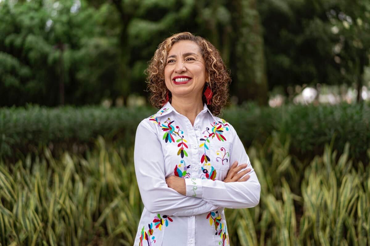
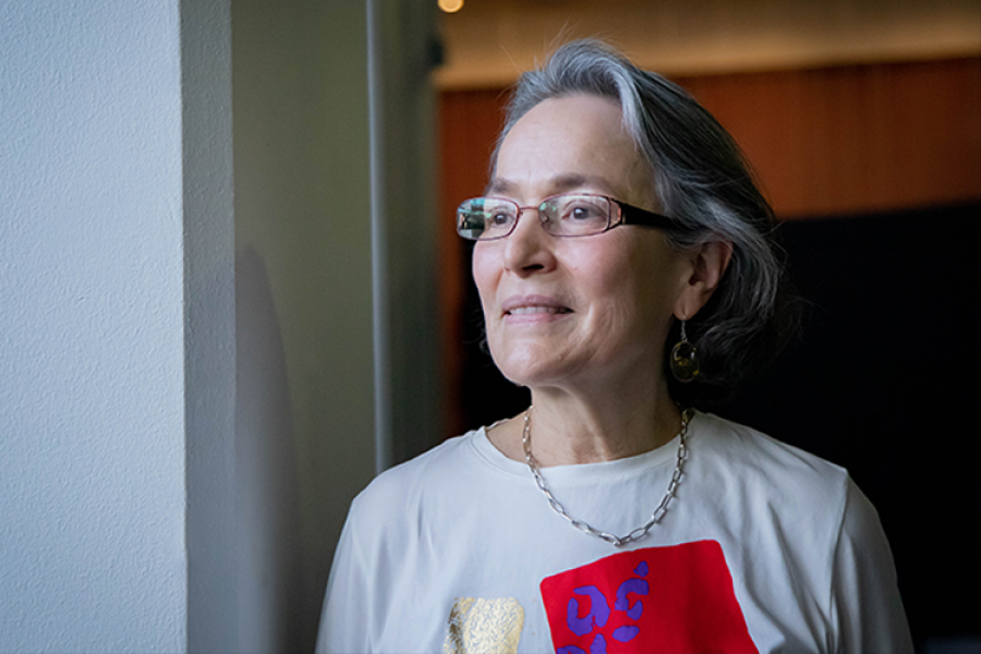
“Applying numerical models to floods allows us to make long-term predictions and risk maps that help reduce their impacts,” says Rosanna Bonasia, research professor at the Department of Sustainable and Civil Engineering at Tec de Monterrey, as well as a member of the Water Center for Latin America and the Caribbean, in an interview with TecScience.
Throughout her career, Bonasia has specialized in the application of mathematical models to topics related to fluids, such as air or water. In 2010 she arrived in Mexico from Italy and brought with her volcanic ash dispersion models to calculate its effects.
In the case of floods, these models can help calculate the probability of them occurring in a given area, the risk of damage they may cause and their causes depending on the region.
“In order to create them, the first step is to calculate the probability of them occurring and exceeding critical thresholds, such as water exceeding one meter in depth,” explains Bonasia.
Using differential equations – those that we learned in high school and many of us never used again – and specialized softwares, different flood scenarios can be simulated that are very close to reality.
Mathematical Models: A Tool for Flood Prevention
To make them as realistic as possible, the models are fed with parameters such as terrain geometry, rainfall and infiltration patterns, land use or nearby river beds.
With them, flood maps can also be built, to asses susceptibility or risk. Risk indicators allow researchers to calculate how vulnerable an area is to suffering material damage, such as house or infrastructure loss.
To create them, researchers use databases with information about the type of population, their economic condition, or the quality of the infrastructure of a specific place. Taking these maps into account can help promote better urban planning that protects the most vulnerable populations.
The Case of Mexico: Complex and Sad
Recently, Bonasia and a group of researchers used mathematical models to analyze the impact of urban growth and the change in land use on flood risk in Villahermosa, Tabasco. According to her, understanding the causes of floods can help prevent them.
“This is a city with an historically high flood susceptibility,” Bonasia says. This is due to its topographic characteristics, its position at sea level and the fact that it’s located in the basin of the Grijalva and Usumacinta rivers, two of the largest in the country.
This has been enhanced by the change in land use, which went from forestry to agricultural. Natural soils are capable of absorbing up to 60% of rainfall, while agricultural soils only absorb 40%.
Adding the uncontrolled urban expansion, the impact of flooding has increased significantly in the city. Urban soils, where cement predominates, have almost zero infiltration capacity.
In the Milpa Alta district of Mexico City, they applied mathematical models and found something similar: urban expansion and land use change have had a negative influence on the severity of flooding. In the area, the water can reach up to two meters deep.
According to her, the lack of rigid urban planning in the country allows construction in areas of high risk of flooding. Furthermore, large cities create peri-urban areas where settlements are often allowed on dry river beds.
“The fact that the river is dry does not mean that it cannot get refilled with particularly intense rains,” explains the researcher.
All this, combined with a lack of public construction policies based on risk analysis for natural phenomena, is a recipe for disaster.
“The situation in Mexico is very complicated and also sad” says Bonasia.
Climate Change: An Added Threat
As if this was not enough, climate change adds to the threat by increasing the frequency of extreme rains and droughts. “It is essential to recognize that we are facing climate change, although it may seem obvious, not everyone is aware of its effects,” says the researcher.
In the future, she suggests that the mathematical models and risk studies that already exist in the country be taken into account and translated into generalized public policies that avoid building in high-risk areas and use materials that allow better infiltration of water.
Also, there is a lack of investment to increase these studies and acquire equipment that allows setting up updated and efficient meteorological and hydrological stations to monitor rainfall, as well as river and lake beds.
“In addition, actions must be taken to address climate change, so that we don’t reach the point where there’s no turning back,” Bonasia concludes.

