×

Sign up to our weekly newsletter

Subscribe!

Cities and Prosperous Communities

Sort by:

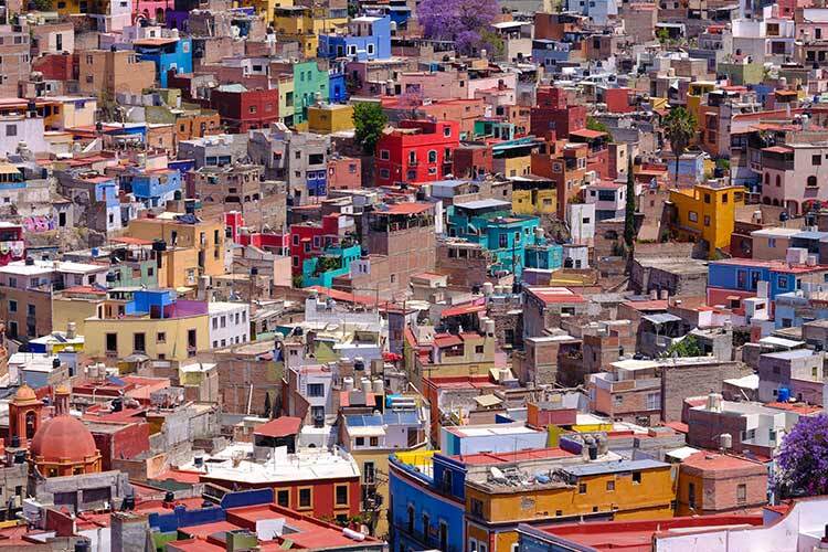
photograph of densely populated and colorful urban settlements
A comparative study between Monterrey and Soacha reveals that urban informality is not a fixed category, but a process shaped by public policies, inequality, and access to housing.
Map of the northern hemisphere with intense colors in red, orange and blue representing high temperatures.
An international group of researchers is developing an index with different variables that identifies the levels of impact among the population.
Photograph of a man and three women sitting on a stage arguing
A group of researchers, designers, and housing specialists discussed how to turn scientific knowledge into tools to reduce the impacts of global warming at the local level.
Researchers are developing a project to measure waste of this fruit, from harvest to the wholesale market and ultimately to the final buyer.
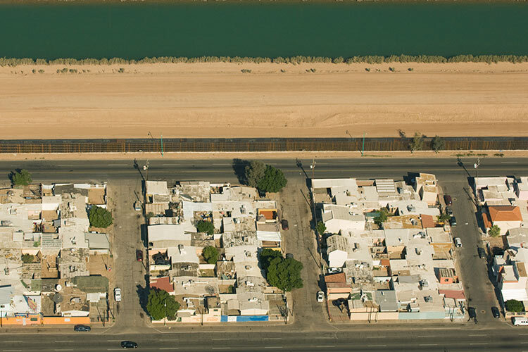
Aerial view of Mexicali, Mexico, with the border and wall separating it from California, United States.
At the Center for the Future of Cities at Tecnológico de Monterrey, researchers are developing computational urbanism models to improve urban planning in cities like Mexicali and enhance residents’ quality of life.
smart cities technology education
An interdisciplinary group of researchers published a book on how to build smart cities using AI, robotics, and gamification.
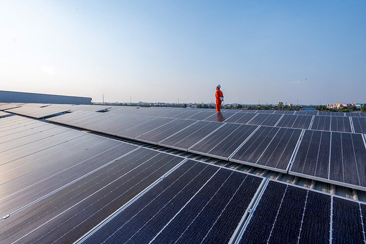
Solar panels installed on an industrial metal roof help generate energy and reduce indoor heat.
Researchers at Tec de Monterrey show how solar panels installed on industrial roofs can reduce heat and improve thermal comfort.
AI
The system will enable bidirectional translation between Spanish and the Tsotsil language. It will also transcribe speech to text and convert text to speech using a native accent.
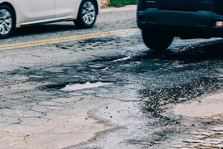
Detecting Potholes with AI
Using sensors and cameras, one project succeeded in detecting potholes—and even patched areas—on city streets, aiming to monitor road infrastructure and enable faster, more informed maintenance decisions.
Illustration of a flooded world
A group of researchers present Infrarisk 360, a tool that uses digital twins, AI and graphic engines to anticipate the risk of flood damage in a specific area.

Cities and Prosperous Communities

photograph of densely populated and colorful urban settlements
A comparative study between Monterrey and Soacha reveals that urban informality is not a fixed category, but a process shaped by public policies, inequality, and access to housing.
Map of the northern hemisphere with intense colors in red, orange and blue representing high temperatures.
An international group of researchers is developing an index with different variables that identifies the levels of impact among the population.
Photograph of a man and three women sitting on a stage arguing
A group of researchers, designers, and housing specialists discussed how to turn scientific knowledge into tools to reduce the impacts of global warming at the local level.
Researchers are developing a project to measure waste of this fruit, from harvest to the wholesale market and ultimately to the final buyer.
Aerial view of Mexicali, Mexico, with the border and wall separating it from California, United States.
At the Center for the Future of Cities at Tecnológico de Monterrey, researchers are developing computational urbanism models to improve urban planning in cities like Mexicali and enhance residents’ quality of life.
smart cities technology education
An interdisciplinary group of researchers published a book on how to build smart cities using AI, robotics, and gamification.
Solar panels installed on an industrial metal roof help generate energy and reduce indoor heat.
Researchers at Tec de Monterrey show how solar panels installed on industrial roofs can reduce heat and improve thermal comfort.
AI
The system will enable bidirectional translation between Spanish and the Tsotsil language. It will also transcribe speech to text and convert text to speech using a native accent.
Detecting Potholes with AI
Using sensors and cameras, one project succeeded in detecting potholes—and even patched areas—on city streets, aiming to monitor road infrastructure and enable faster, more informed maintenance decisions.
Illustration of a flooded world
A group of researchers present Infrarisk 360, a tool that uses digital twins, AI and graphic engines to anticipate the risk of flood damage in a specific area.

Sign up to our weekly newsletter!

Scientists, innovation and the stories that explain it all.